


Climate models bring calls for council response
 Print
Print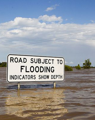 New climate models have been released that predict sea levels will rise high enough to flood parts of Batemans Bay on the New South Wales south coast.
The modelling has prompted a heated debate about how the local council can respond.
The maps produced by green group Climate Central show large patches of Beach Road would end up underwater even if the global efforts to reduce greenhouse gas emissions are successful.
If the maximum 2 degrees temperature rise is exceeded and temperatures went as high as four degrees above average, the coastal centre’s CBD, waterfront homes and part of the Princes Highway would also be submerged.
Even though Climate Central scientists said those rises might not eventuate for another 200 years, Eurobodalla Shire Council has allowed itself to become divided over how to prepare.
Deputy mayor Rob Pollock says the answer is pretty simple – building future infrastructure further from the water, while coming up with strict building requirements for existing at-risk private properties.
“Yes there is sea level rise, but it's not going to happen in two days or five years or 10 years,” Cr Pollock told the ABC.
“It's going to happen over a very long period of time and that's why we can develop policies to cope with and plan appropriately for the future.”
Cr Pollock said predictions about sea level rise and its impact would be continually reviewed to adjust policies as needed.